We noticed you're using an ad blocker. Ads help us offset hosting costs and keep Urbex Planet free for everyone. Please consider disabling your ad blocker for our site, or support us with a donation to enjoy an ad-free experience!
Calgary, Alberta
You must be logged in to comment.
No comments yet. Been here? Share what you found.
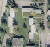
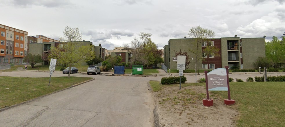
Riverview Village Apartments
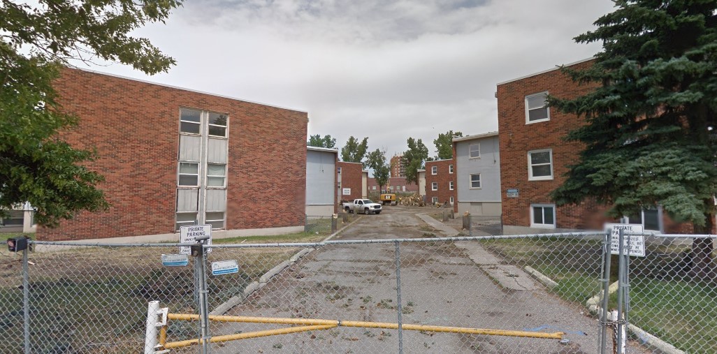
Southview Housing Project
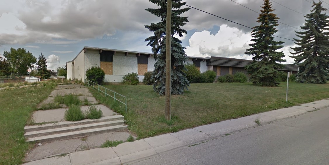
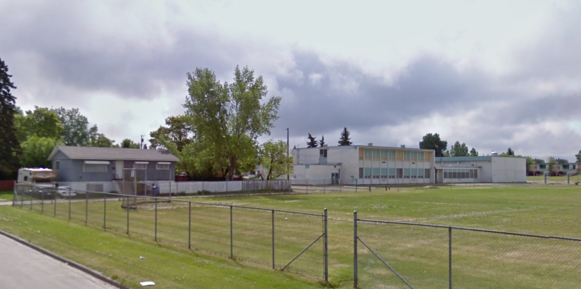
Radisson Heights School
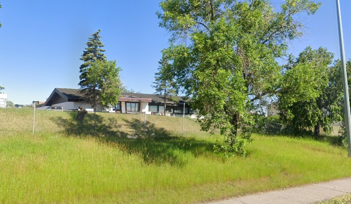
Albert Park School
Franklin Swiss Chalet
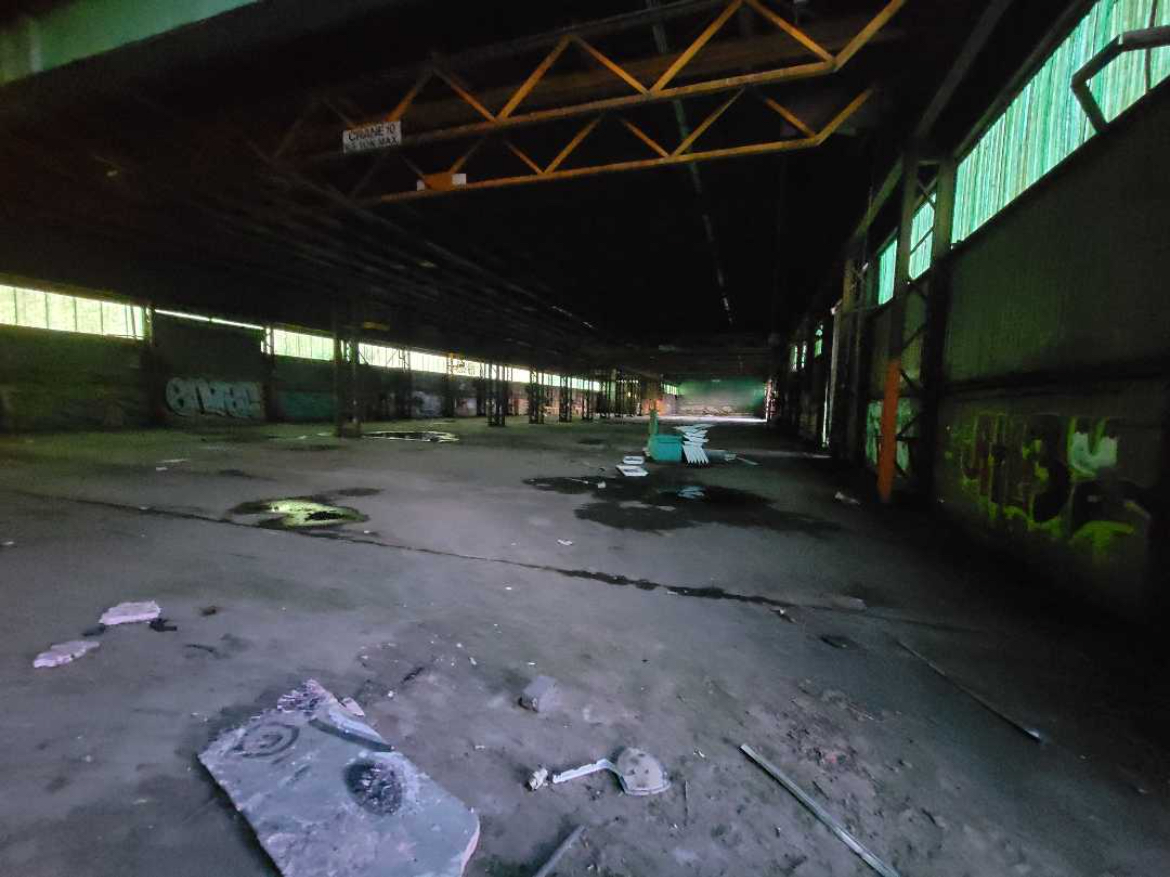
Harris Rebar Plant
First new image becomes thumbnail (if owner/admin & no prior images or chosen first).
Not sure which to choose? Learn about visibility.
When enabled, your name will be hidden from everyone except yourself, editors, and admins.
Owners, editors, and admins can update hazards.
Max 2000 characters. No HTML.
Owners, editors, and admins can update required equipment.
You need to log in to share pins.
You need to log in to report.
You need to log in to suggest an edit.